 |
| Map of Buckskin
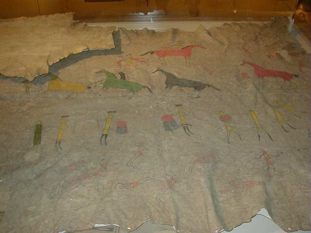
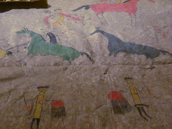
From North America, AD 1774-75 The map here illustrates a vast drainage basin at the confluence of the Ohio and Mississippi. It may have been used in negotiations involving the cession of land by the Wea and Piankashaw (subgroups of the Miami) to the Illinois and Wabash Land Companies. Natives played an essential role in the exploration and mapping of North America. Indians acted as guides, and naturally would also have provided maps. These now act as mportant records of Native cognition and spatial awareness. Many of these maps were ephemeral. During the California Gold Rush of 1848-50, miners were amazed and delighted to be shown maps outlined in sand, with the mountains heaped up. The Hudson's Bay Company, through America and Canada active between Alaska and Oregon, to Labrador, has records of 800 manuscript charts and maps made between 1670 and 1870. Many of thes ewere created with Native information.
In the Arctic, Inuit acted as pilots, interpreters and cartographers (map-makers); some of these people, such as John Sacheuse or Hans Zakaeus, came from Greenland, and used their linguistic skills far to the west in what is now Canada. In East Greenland maps, showing shore outlines, were carved in wood. Elsewhere birchbark was used as a medium. The map was brought to England by Bryan Mullanphy (1809-51) when he was sent to be educated by the Society of Jesus at Stonyhurst, Lancashire, in 1825, from St Louis. He was later elected mayor of St Louis in 1847. Length: 125 cm Lent by the Society of Jesus ....directly Quoted from the British museum online catalogue. |
