 |
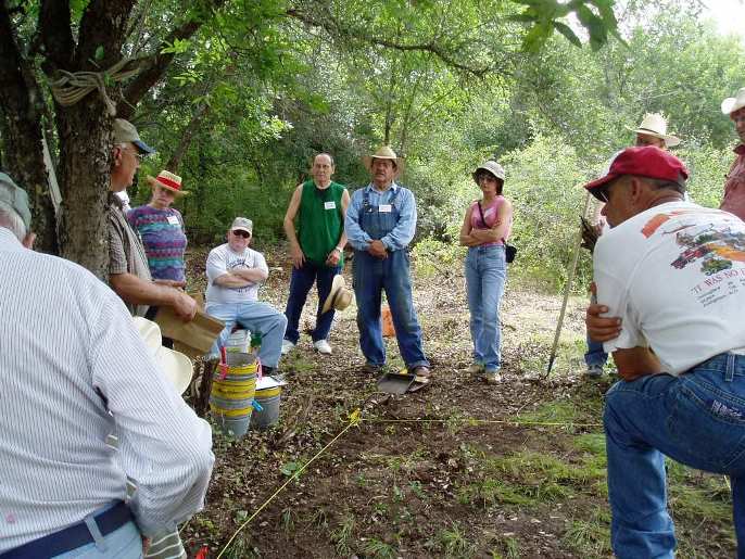
| Soon we all were out to the excavation site. Here Dr. Hester is explaining
how a hole (called a "unit") was laid out.
We aligned the unit along a North/South line. This isn't a rule, but one makes a decision to make all units aligned along the same direction, if possible. Elevation was determined by a survey crew who came out and gave us a datum point to reference elevation from--- this point was given an elevation of 100 to make things simple--- we measured depth from this datum point, which was also painted a bright color.... |